![An Australian Government Initiative [logo]](/images/austgovt_brown_90px.gif)

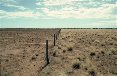 Tussock grassland of Mitchell Grass (Astrebla spp.), with fenceline showing grazing impact, Qld |
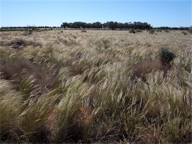 Tussock grassland dominated by Stipa sp. in flower, Mungo National Park, NSW |
Foliage cover of tallest stratum greater than 70% |
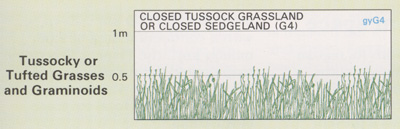
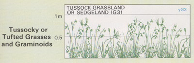
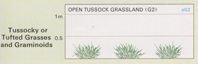
Tussock Grasslands
- Typified by perennial grasses with a tufted
growth habit.
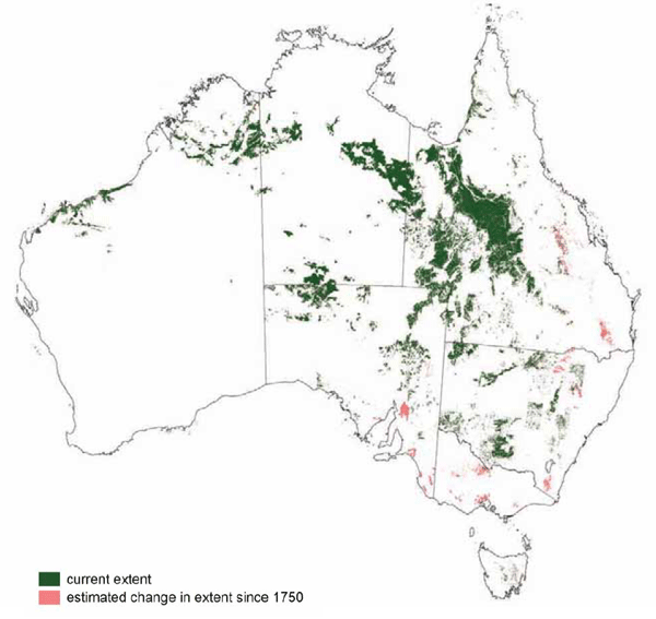
- Contain a broad range of native grasslands
from the Dichanthium sericeum (blue grass)
and Astrebla spp. (Mitchell grass) communities
in northern Australia to the temperate
grasslands of southern New South Wales,
Victoria and Tasmania.
- Contain many widespread genera including
Aristida, Astrebla, Austrodanthonia, Austrostipa,
Chrysopogon, Dichanthium, Enneapogon,
Eragrostis, Eriachne, Heteropogon, Poa, Themeda,
Sorghum and many mixed species communities.
- Support a large range of species, partly as a result of this geographical range and partly as a result of the variation in soils and site conditions.
Extensive areas of Tussock Grasslands have been cleared and replaced by exotic pasture species. Most other areas have been modified by grazing, weed invasion and land management practices associated with grazing domestic stock (e.g. frequent fire and the application of fertilisers).
![]() Photos from the Australian Plant Image Index
Photos from the Australian Plant Image Index
Sources: Australia's Native Vegetation - from rainforest to spinifex, map and information poster produced by the National Land & Water Audit, Natural Heritage Trust, Australian Government, 2001
Map: Australia's Native Vegetation - A summary of Australia's Major Vegetation Groups, 2007, Australian Government website
https://www.environment.gov.au/system/files/resources/a9897cf2-9d38-4201-bea2-13dadf3af9a8/files/major-veg-summary.pdf
Structure diagram: Atlas of Australian Resources - Vol. 6, Vegetation,
AUSLIG, Canberra, 1990